
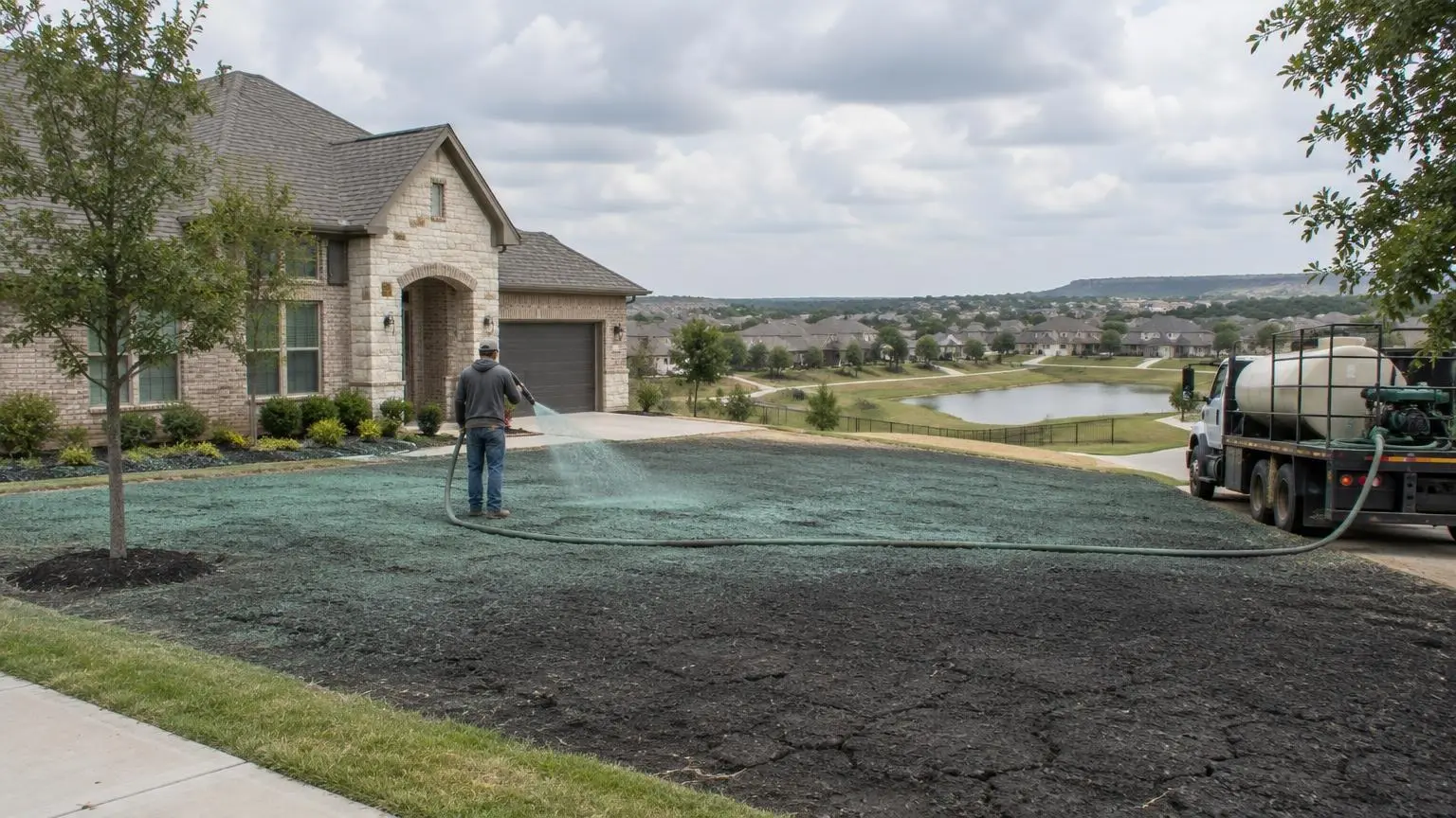
Below the Lewisville Dam
Hydroseeding in Lewisville, TX
Where Cross Timbers meets prairie, with the Elm Fork running through.
- No-cost site visit and a written quote
- Quotes split into prep, seed, mulch and erosion items
- Seed mix and timing planned for North Texas heat
Seeding Between the Lake and the Elm Fork
Hydroseeding in Lewisville depends on how close you are to water. About 14 percent of the city's area is water, including Lewisville Lake, the Elm Fork of the Trinity River and two of its tributaries, Prairie Creek and Timber Creek. The city's rapid growth began when the dam finished in 1954 and the lake expanded.
Floodplain ground
Where the Elm Fork leaves the lake, a delta extends about 6.9 miles south, and FEMA has labeled much of the area around it Zone AE, subject to 100-year flood precautions. Work in those areas is mostly public and commercial. Vegetation there must survive being under water, and erosion control has to hold through a flood, so we favor blankets and BFM over plain mulch.
Timber Creek
During heavy rain Timber Creek can overflow its banks and, on rare occasions, flood nearby homes. Yards along it need a graded edge that lets water pass without stripping the lawn, plus blankets on the bank.
Where two regions meet
Lewisville lies in the eastern Cross Timbers, between the Texas Blackland Prairies and the Grand Prairie. Vista Ridge, a small plateau, rises in the southeast, and the lowest point in Denton County, 484 feet, is inside the city. Because the city straddles those regions, soil can change from one neighborhood to the next, and we check it on each lot before choosing soil prep.
Hardiness and timing
Lewisville is in USDA hardiness zone 8a. Warm-season lawns are best seeded in late spring; fall is our window for overseeding.
For floodplain, creek-side or residential seeding in Lewisville, get a free estimate or call (469) 210-5759.
Lewisville Water Facts
- Water share. Water covers about 14 percent of Lewisville, including the lake, the Elm Fork and Prairie and Timber creeks.
- Zone AE delta. A delta extends 6.9 miles south of the lake, and FEMA labels much of the area around it Zone AE.
- Timber Creek. During heavy rains Timber Creek can overflow its banks and on rare occasions flood nearby homes.
- Low point. The lowest part of Denton County, at 484 feet, is in Lewisville.
- Lake history. The Lewisville dam was completed in 1955 and the older Garza Dam was breached in 1957 to form the new lake.

Lewisville Questions
Can you seed ground in the Lewisville floodplain?
Yes, mostly public and commercial areas. We use blankets or BFM that can hold through high water.
My yard backs onto Timber Creek. What should I do before seeding?
Grade the edge so floodwater can pass, then put erosion control blankets on the bank and seed.
Is soil the same across Lewisville?
No. The city sits between Cross Timbers and prairie, so soil can differ between neighborhoods. We check each lot before planning prep.
When should I overseed in Lewisville?
Early fall, after the summer heat breaks, is usually best for overseeding.
Hydroseeding Near Lewisville
- Hydroseeding in Dallas, TX
- Hydroseeding in Frisco, TX
- Hydroseeding in McKinney, TX
- Hydroseeding in Plano, TX
- Hydroseeding in Prosper, TX
- Hydroseeding in Celina, TX
- Hydroseeding in Rockwall, TX
- Hydroseeding in Allen, TX
- Hydroseeding in Garland, TX
- Hydroseeding in Rowlett, TX
- Hydroseeding in Wylie, TX
- Hydroseeding in Forney, TX
- Hydroseeding in Little Elm, TX
- Hydroseeding in Cedar Hill, TX
- Hydroseeding in Midlothian, TX
- Hydroseeding in Waxahachie, TX
- Hydroseeding in Mansfield, TX
- Hydroseeding in Grand Prairie, TX
- Hydroseeding in Flower Mound, TX
- Hydroseeding in Arlington, TX
- Hydroseeding in Mesquite, TX
- Hydroseeding in Denton, TX